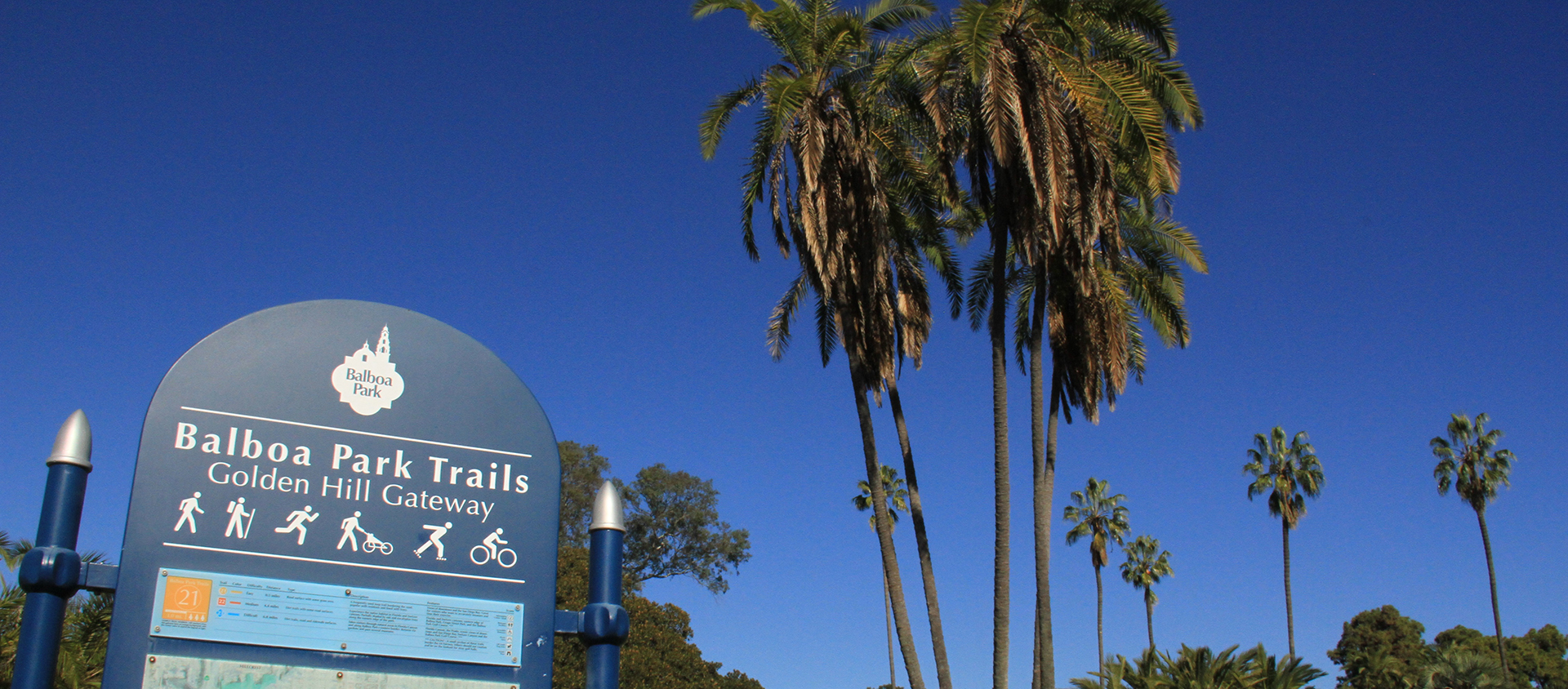

On the south side of the park is a gateway into three trails:
The 0.5 mile trail is a frequently used loop trail bordering the road. This trail is popular with residents and lined with trees. Type: Road surface with some grass area. Difficulty level: Easy. Follow the #21 round light orange trail markers.
The 4.4 mile trail takes visitors into the native habitat in Florida and Switzer canyons. The trail is partially shaded by oak and eucalyptus trees along the eastern edge of the park. Type: Dirt trails with some road surfaces. Difficulty level: Medium. Follow the #22 square red trail markers.
The 6.8 mile trail goes through natural areas in Florida Canyon and along Balboa Park’s eastern border. Returns via gardens and past several museums. Type: Dirt trails, road and sidewalk surfaces. Difficulty level: Difficult. Follow the #23 diamond-shaped blue trail signs